


Scroll To Learn More


-
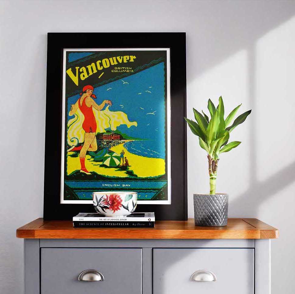
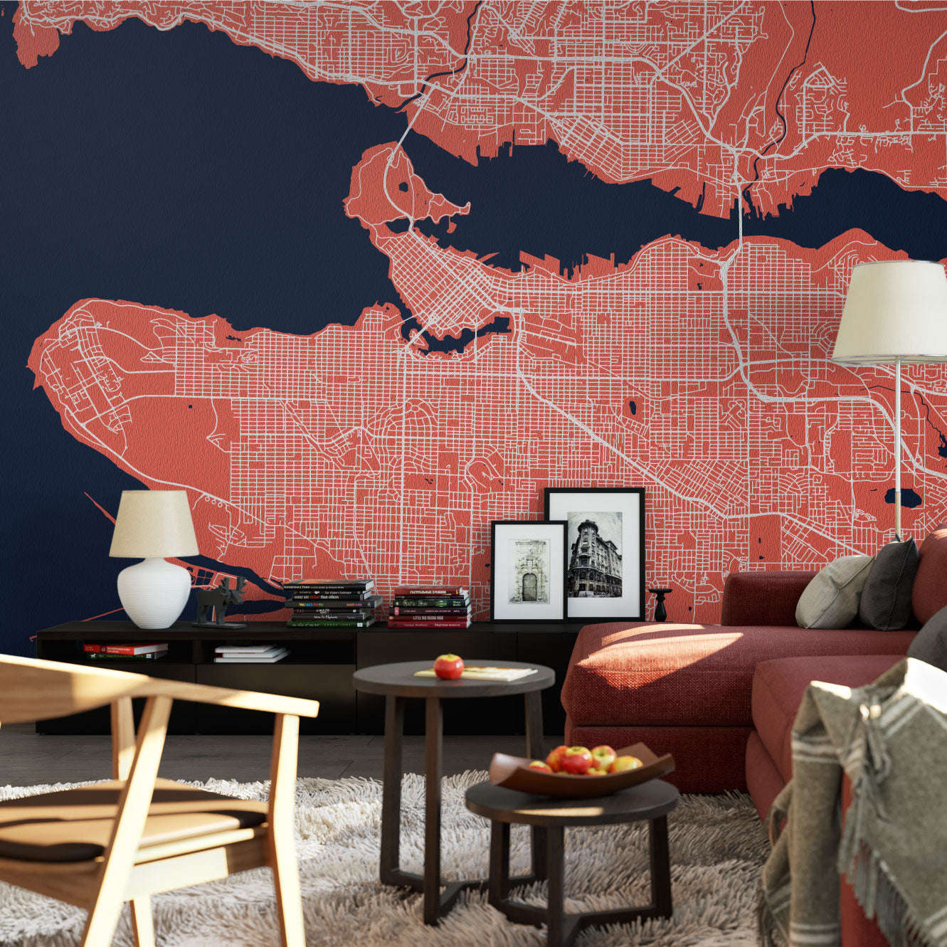
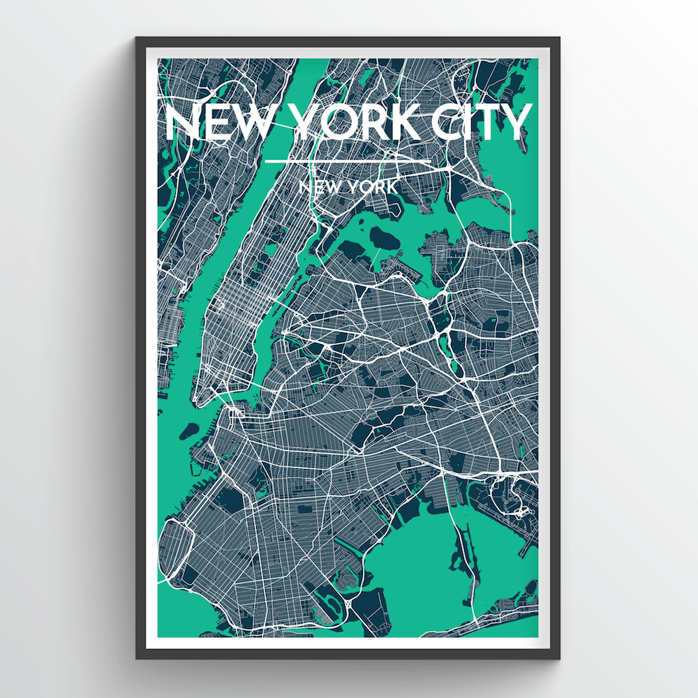
![City Map Art]()
![]()
![California north to south blanket]()

![]()
 Sold Out
 ![]() Sold Out
Sold Out -
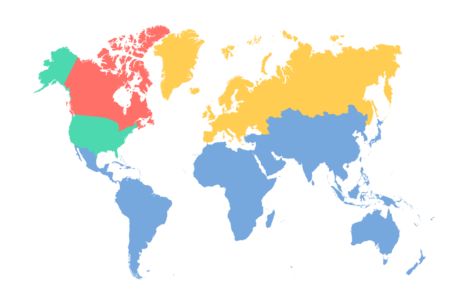
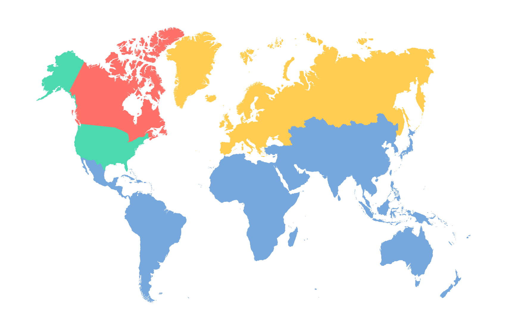
![City Map Prints by Region]()
![]()

![]()

![]()

![]()

![]() Sold Out
Sold Out -
![]() Sold Out
Sold Out![]() Sold Out
Sold Out![]()
![]()
- Login


 Sold Out Sold Out


 Sold Out Sold Out Sold Out
 Sold Out Sold Out Sold Out Sold Out Sold Out
Scroll To Learn More
Every city model is built in multiple steps adding layer upon layer of mapping data to each 3D city drawing. Starting with DEM (digital elevation modeling), captured by previous NASA shuttle missions mapping 30 meter elevation data of the entire planet, our 3D city models start with an accurate base layer of landscape form.
Once the landscape base layer has been generated it is time to add our city data. Compiled from multiple GIS based data sets our mapping data is able to collect both road and building footprint datum points. These building datum points allow us to begin adding height data provided through municipality and government agencies and quickly our city goes from 2D to a 3D city model.
Now that all our layers are added, landscape, roads, 3D buildings, the last element that makes our 3D city models realistic is light. Sun studies and proper global longitudinal coordinates allows us to add natural looking light which also represents real world sunsets as would be seen in each city at a particular time of year.
These 3D city models are an interactive experience allowing our designers the ability to 'fly' overhead each city looking for the perfect vantage point for beautiful pictures of each 3D city model. Every building and road having been modeled means each captured image is a stunningly intricate representation of a city.
Take a flyover of our New York 3D city model and see for yourself why these 3D city models are such a great way to capture the essence of a city making for great, eye catching, wall art that is sure to impress.
Looking for a specific 3D city model? Click the button below to being the search!
Check out some of our most popular 3D city models below
Scroll To Learn More
Every city model is built in multiple steps adding layer upon layer of mapping data to each 3D city drawing. Starting with DEM (digital elevation modeling), captured by previous NASA shuttle missions mapping 30 meter elevation data of the entire planet our 3D city models start with an accurate base layer of landscape form.
Once the landscape base layer has been generated it is time to add our city data. Compiled from multiple GIS based data sets our mapping data is able to collect both road and building footprint datum points. These building datum points allow us to begin adding height data provided through municipality and government agencies and quickly our city goes from 2D to a 3D city model.
Now that all of layers are added, landscape, roads, 3D buildings, the last element that makes our 3D city models so realistically modeled is light. Sun studies and proper global longitudinal coordinates allows us to add natural looking light which also represents real world sunsets as would be seen in each city at a particular time of year.
These 3D city models are an interactive experience allowing our designers to ability to 'fly' overhead each city looking for the perfect vantage point for beautiful pictures of each 3D city model. Every building and every road having been modeled means each captured image is a stunningly intricate representation of a city.
Take a flyover of our New York 3D city model and see for yourself why these 3D city models are such a great way to capture the essence of a city making for great, eye catching, wall art that is sure to impress.
Looking for a specific 3D city model? Click the button below to being the search!
Check out some of our most popular 3D city models below
Art prints made from 3D printing technology. These 3D city drawings are made from highly intricate city model data from cities around the world using a combination of GIS and DEM data to create these detailed 3D cityscape city models.
See below how we make our 3D city models using mapping data and 3D printing technology.
Every city model is built in multiple steps adding layer upon layer of mapping data to each 3D city drawing. Starting with DEM (digital elevation modeling), captured by previous NASA shuttle missions mapping 30 meter elevation data of the entire planet our 3D city models start with an accurate base layer of landscape form.
Once the landscape base layer has been generated it is time to add our city data. Compiled from multiple GIS based data sets our mapping data is able to collect both road and building footprint datum points. These building datum points allow us to begin adding height data provided through municipality and government agencies and quickly our city goes from 2D to a 3D city model.
Now that all of layers are added, landscape, roads, 3D buildings, the last element that makes our 3D city models so realistically modeled is light. Sun studies and proper global longitudinal coordinates allows us to add natural looking light which also represents real world sunsets as would be seen in each city at a particular time of year.
These 3D city models are an interactive experience allowing our designers to ability to 'fly' overhead each city looking for the perfect vantage point for beautiful pictures of each 3D city model. Every building and every road having been modeled means each captured image is a stunningly intricate representation of a city.
Take a flyover of our New York 3D city model and see for yourself why these 3D city models are such a great way to capture the essence of a city making for great, eye catching, wall art that is sure to impress.
Looking for a specific 3D city model? Click the button below to being the search!
Check out some of our most popular 3D city models below